Formation flightsPiper PA-28 CherokeeReception source: ADS-B, ICAO address
Piper Cherokee and Cessna Skylane appear in a close pairing
A 51-year-old Cherokee was one of the aircraft involved. Their closest recorded horizontal spacing was 0.049 NM.
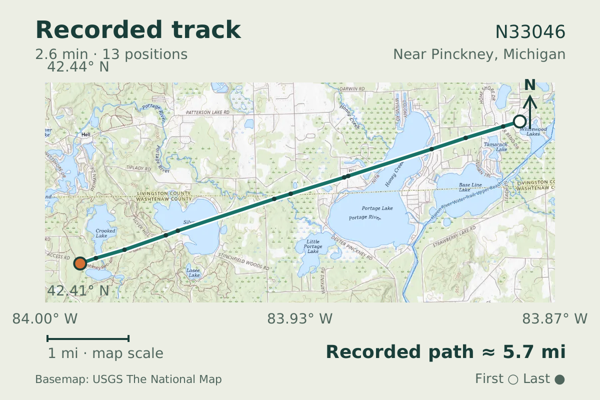
- Replay time · UTC
- —
- Last saved report · UTC
- —
- Recorded path
- —
- Reported ground speed
- —
- Archived altitude
- —
The dot moves between saved positions. Readings are from the last saved report. Recorded path is approximate and excludes gaps. Distances use nautical miles (nmi); speed uses knots (nmi per hour).
A Cherokee and a Skylane came close together near Pinckney, Michigan, on October 17, 2026. Aircraft database entries identify N33046 as a Piper PA-28 Cherokee and N735AN as a Cessna 182 Skylane. At the closest recorded point, the pair had zero reported vertical separation.
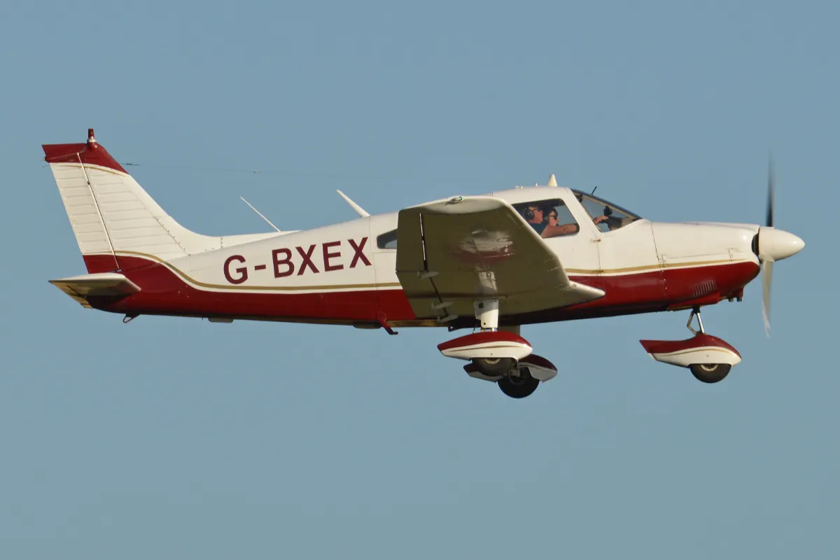
Close proximity could reflect formation flight, but the data cannot establish coordination or intent. The Cherokee's recorded altitude stayed between 3,900 and 4,000 feet. Piper introduced the PA28 Cherokee in 1961; the aircraft in this observation is a 51-year-old example.
About the Piper PA-28 Cherokee
- Piper introduced the PA28 Cherokee in 1961.
Other Piper PA-28 Cherokee stories
Recorded data for N33046
| Observed | to |
|---|---|
| Event type | Flight patterns |
| Recorded source | ADS-B, ICAO address |
| Post date | |
| Last revised |
| Aircraft type | PIPER PA-28-140/150/160/180 |
|---|---|
| Type designator | P28A |
| Tail number (registration) | N33046 |
| Callsign | N33046 |
| ICAO address | A398D2 |
| Other aircraft | N735AN · N735AN · C182 ICAO address A9DDAB Source: ADS-B, ICAO address Closest horizontal separation between the aircraft: 0.049 NM Vertical separation at closest approach: 0 ft |
|---|
Measurements
Displayed measurements may be rounded.
- Closest horizontal separation between the aircraft
- 300 ft
- about 300 feet apart
- Vertical separation at closest approach
- 0 ft
- the height difference at that moment
- Aircraft involved
- 2 aircraft
- how many aircraft flew together
- Episode duration
- 2 min 34.875 sec
- how long the detected episode lasted, which can be shorter than the saved track
- Pressure altitude
- 4,000 ft
- pressure altitude, the figure pilots and controllers use
All measurements and the evidence record
| Ground speed | 115.4 kn |
|---|---|
| Pressure altitude | 4,000 ft |
| Geometric altitude | 4,275 ft |
| Geometric-altitude vertical rate | 0 ft/min |
| Navigation integrity category | 9 |
| Navigation accuracy category | 10 |
| Transponder code | 1200 |
| Closest horizontal separation between the aircraft | 0.049 NM |
|---|---|
| Vertical separation at closest approach | 0 ft |
| Aircraft involved | 2 aircraft |
| Episode duration | 155 s |
| Telemetry samples | 13 samples |
Evidence version: da737f9a6f0be002.
Record details
Public event ID: ee8a1cfd-e432-4c.
Record revision: 4.