Flight shapesCessna 172 SkyhawkReception source: ADS-B, ICAO address
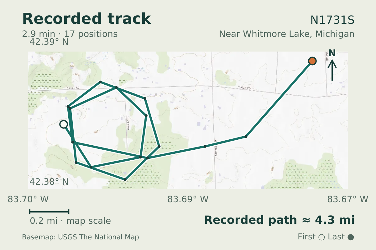
A Cessna 172 Skyhawk circles down on a spiral track
The aircraft database identifies N1731S as a Cessna 172 Skyhawk. Its descent included two closed loops.
- Replay time · UTC
- —
- Last saved report · UTC
- —
- Recorded path
- —
- Reported ground speed
- —
- Archived altitude
- —
The dot moves between saved positions. Readings are from the last saved report. Recorded path is approximate and excludes gaps. Distances use nautical miles (nmi); speed uses knots (nmi per hour).
The Cessna 172 Skyhawk was introduced as a successor to the Cessna 170. This example drew a descending spiral near Whitmore Lake, Michigan, on October 17, 2026, completing two closed loops while its reported altitude fell roughly 2,300 feet.
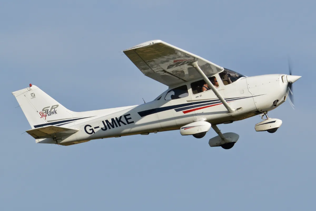
The Skyhawk is a piston aircraft with a single engine and a high wing. Those are features of the type; the looping track gives no explanation for why this particular aircraft was circling as it descended.
About the Cessna 172 Skyhawk
- The Cessna 172 Skyhawk first flew on June 12, 1955.
- The Cessna 172 Skyhawk is a piston aircraft with one engine and a high wing.
- The Cessna 172 Skyhawk was introduced as a successor to the Cessna 170.
Other Cessna 172 Skyhawk stories
Recorded data for N1731S
| Observed | to |
|---|---|
| Event type | Flight patterns |
| Recorded source | ADS-B, ICAO address |
| Post date | |
| Last revised |
| Aircraft type | CESSNA 172 Skyhawk |
|---|---|
| Type designator | C172 |
| Tail number (registration) | N1731S |
| Callsign | CXK531 |
| ICAO address | A126DE |
Measurements
Displayed measurements may be rounded.
- Ground speed
- 103.8 kn
- speed over the ground; wind adds to or subtracts from it
- Pressure altitude
- 2,625 ft
- pressure altitude, the figure pilots and controllers use
All measurements and the evidence record
| Ground speed | 103.8 kn |
|---|---|
| Pressure altitude | 2,625 ft |
| Geometric altitude | 2,900 ft |
| Pressure-altitude vertical rate | -2,048 ft/min |
| Navigation integrity category | 9 |
| Navigation accuracy category | 10 |
| Transponder code | 1200 |
| Episode start altitude | 4,950 ft |
|---|---|
| Episode end altitude | 2,625 ft |
| Episode duration | 171 s |
| Telemetry samples | 17 samples |
| Observed altitude change | -2,325 ft |
| Closed loops | 2 loops |
Evidence version: 85cf8c585301bcf2.
Record details
Public event ID: cba8f10b-5865-40.
Record revision: 3.