Notable aircraftBoeing E-6B MercuryReception source: Multilateration (MLAT)
Boeing E-6B Mercury brings a command post into the flight picture
The aircraft database identifies the observed military jet as a Mercury, a type from Boeing's small Navy delivery run.
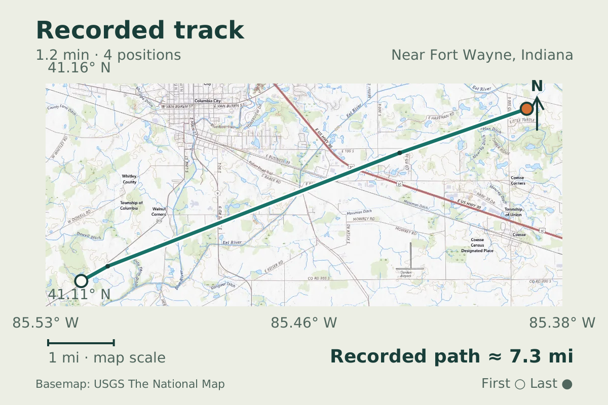
- Replay time · UTC
- —
- Last saved report · UTC
- —
- Recorded path
- —
- Reported ground speed
- —
- Archived altitude
- —
The dot moves between saved positions. Readings are from the last saved report. Recorded path is approximate and excludes gaps. Distances use nautical miles (nmi); speed uses knots (nmi per hour).
The Boeing E-6B Mercury was tracked near Fort Wayne, Indiana, on August 20, 2026. Its reported altitude was 27,000 feet, putting this airborne command post well up in the flight picture. The observation does not establish who was aboard.
Boeing's historical account records 16 E-6 deliveries to the Navy between 1989 and 1992. Those dates describe the type's delivery run; they do not supply an individual delivery date or an airframe age for the military aircraft seen on this flight.
About the Boeing E-6B Mercury
- Boeing's historical account records 16 E-6 deliveries to the Navy between 1989 and 1992.
Other Boeing E-6B Mercury stories

Recorded data for AF3F3A
| Observed | to |
|---|---|
| Event type | Unusual aircraft |
| Recorded source | Multilateration (MLAT) |
| Post date | |
| Last revised |
| Type designator | E6 |
|---|---|
| ICAO address | AF3F3A |
Measurements
Displayed measurements may be rounded.
- Archived altitude; reference not retained
- 27,000 ft
- an archived altitude whose reference, pressure or GPS, was not kept
All measurements and the evidence record
| Archived altitude; reference not retained | 27,000 ft |
|---|
Evidence version: 83aef1de9663b82c.
Record details
Public event ID: 542e2538-b0ec-43.
Record revision: 9.