Notable aircraftBoeing E-6B MercuryReception source: Multilateration (MLAT)
Boeing E-6B Mercury airborne command post tracked
The aircraft database identifies the jet as an E-6B Mercury, an airborne command post from Boeing's small E-6 production run.
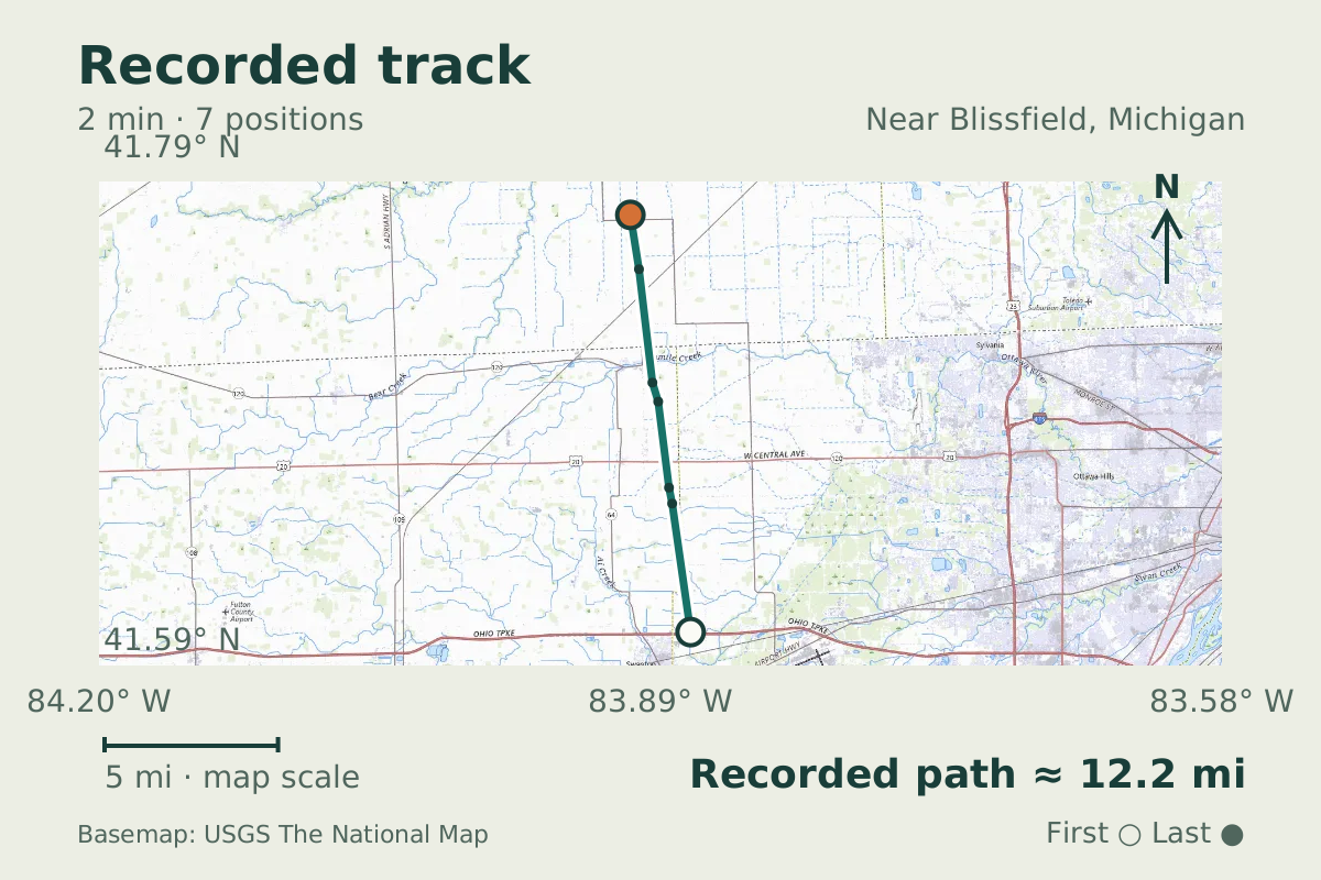
- Replay time · UTC
- —
- Last saved report · UTC
- —
- Recorded path
- —
- Reported ground speed
- —
- Archived altitude
- —
The dot moves between saved positions. Readings are from the last saved report. Recorded path is approximate and excludes gaps. Distances use nautical miles (nmi); speed uses knots (nmi per hour).
At 28,000 feet near Blissfield, Michigan, the jet tracked on September 24, 2026, was listed as a Boeing E-6B Mercury in the aircraft database. That identification puts an airborne command post in the flight picture, with the database also classifying the aircraft as military.
The E-6 family came from a small delivery run. Boeing's historical account records 16 E-6 deliveries to the Navy between 1989 and 1992. Those dates describe the type's delivery history, rather than the age of this particular aircraft.
About the Boeing E-6B Mercury
- Boeing's historical account records 16 E-6 deliveries to the Navy between 1989 and 1992.
Other Boeing E-6B Mercury stories

Recorded data for AFEF56
| Observed | to |
|---|---|
| Event type | Unusual aircraft |
| Recorded source | Multilateration (MLAT) |
| Post date | |
| Last revised |
| Type designator | E6 |
|---|---|
| ICAO address | AFEF56 |
Measurements
Displayed measurements may be rounded.
- Archived altitude; reference not retained
- 28,000 ft
- an archived altitude whose reference, pressure or GPS, was not kept
All measurements and the evidence record
| Archived altitude; reference not retained | 28,000 ft |
|---|
Evidence version: 38e4ce5ae48034a2.
Record details
Public event ID: 2f91d588-892b-40.
Record revision: 9.