Boeing C-40B 01-0041 returns for its third story in this journal
Reported near Leslie, Michigan, the aircraft had two earlier stories in this collection, with its first appearance on June 16, 2026.
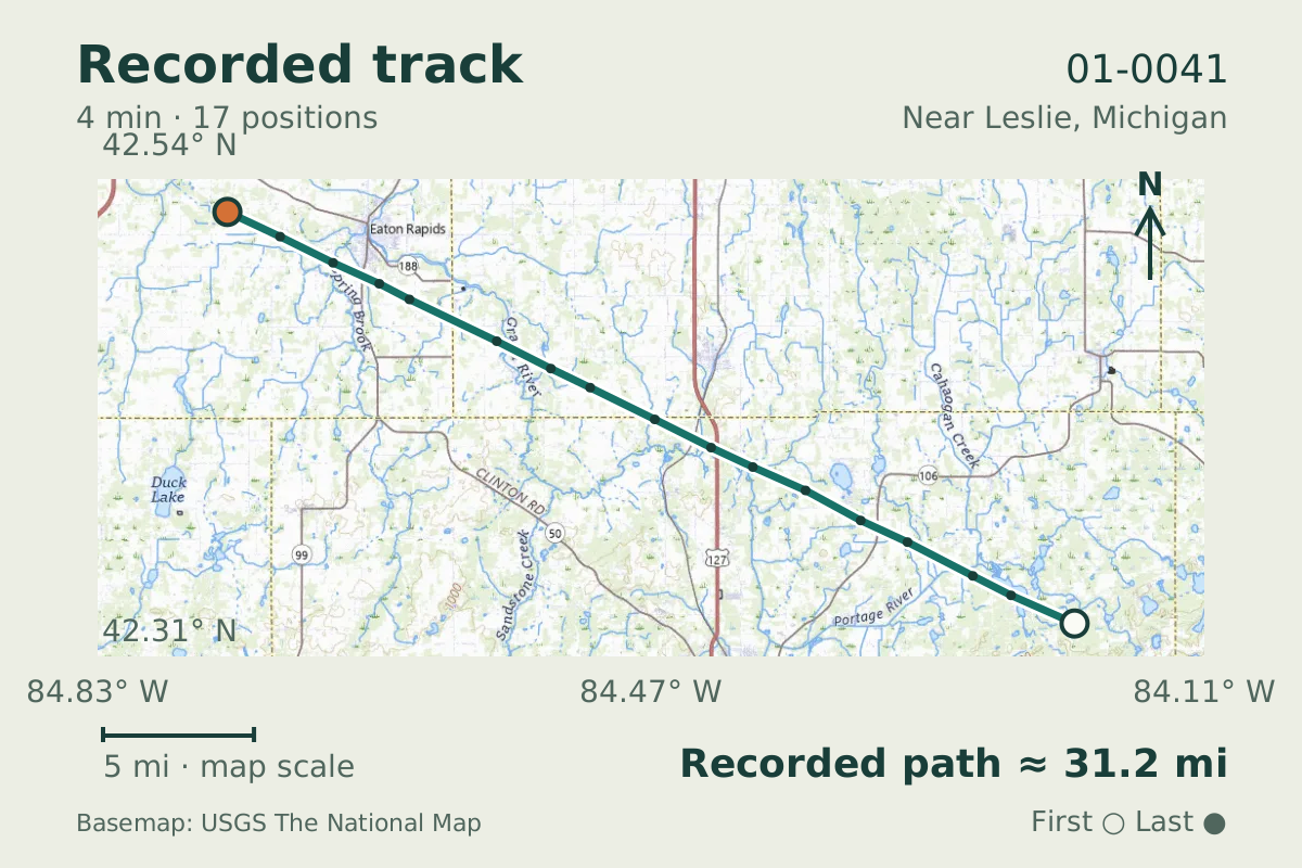
- Replay time · UTC
- —
- Last saved report · UTC
- —
- Recorded path
- —
- Reported ground speed
- —
- Archived altitude
- —
The dot moves between saved positions. Readings are from the last saved report. Recorded path is approximate and excludes gaps. Distances use nautical miles (nmi); speed uses knots (nmi per hour).
Boeing C-40B 01-0041 returned to the journal's records on August 25, 2026, when it was reported near Leslie, Michigan. The aircraft database identifies the airframe as a C-40B and lists it as military. This observation became its third story in the collection.
Its two earlier stories date to June 16 and July 22, 2026. Those entries give this airframe a short history within the journal, without establishing what brought it over Michigan. The data do not show who was aboard or the purpose of the flight.
Recorded data for 01-0041
| Observed | to |
|---|---|
| Event type | Unusual aircraft |
| Recorded source | Multilateration (MLAT) |
| Post date | |
| Last revised |
| Aircraft type | Boeing C-40B |
|---|---|
| Type designator | B737 |
| Tail number (registration) | 01-0041 |
| Callsign | SAM878 |
| ICAO address | AE11F6 |
Measurements
Displayed measurements may be rounded.
| Ground speed | 416.8 kn |
|---|---|
| Archived altitude; reference not retained | 34,025 ft |
| Callsign | SAM878 |
|---|---|
| Transponder code | 6543 |
Record details
Public event ID: 05809534-c29c-45.
Record revision: 3.
Evidence version: 94811f316c7a5916.