Boeing C-40B 01-0041 carries a military variant designation
Reported near Eaton Rapids, Michigan, the aircraft had a recorded altitude of 34,000 feet.
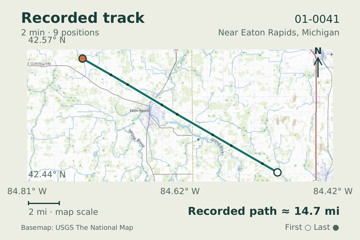
- Replay time · UTC
- —
- Last saved report · UTC
- —
- Recorded path
- —
- Reported ground speed
- —
- Archived altitude
- —
The dot moves between saved positions. Readings are from the last saved report. Recorded path is approximate and excludes gaps. Distances use nautical miles (nmi); speed uses knots (nmi per hour).
Boeing C-40B 01-0041 was reported near Eaton Rapids, Michigan, on June 16, 2026. The aircraft database names it as a C-40B and classifies it as military. That designation is the notable detail in this flight observation.
The recorded altitude was 34,000 feet, with positions supplied by MLAT, which estimates position from signal timing. The archive carried the callsign SAM906. These data cannot establish the flight's purpose or occupants; the military classification describes the aircraft.
Recorded data for 01-0041
| Observed | to |
|---|---|
| Event type | Unusual aircraft |
| Recorded source | Multilateration (MLAT) |
| Post date | |
| Last revised |
| Aircraft type | Boeing C-40B |
|---|---|
| Type designator | B737 |
| Tail number (registration) | 01-0041 |
| Callsign | SAM906 |
| ICAO address | AE11F6 |
Measurements
Displayed measurements may be rounded.
| Archived altitude; reference not retained | 34,000 ft |
|---|
| Callsign | SAM906 |
|---|---|
| Transponder code | 7064 |
Record details
Public event ID: 6986707b-a938-46.
Record revision: 3.
Evidence version: f9c58815536060a4.