ADS-B glitchesHawker 800Reception source: ADS-B, ICAO address
Conflicting identity fields accompany a Hawker 800 database label
A later aircraft database lookup supplies the type, while the flight's address conversion and archived callsign label agree on another registration.
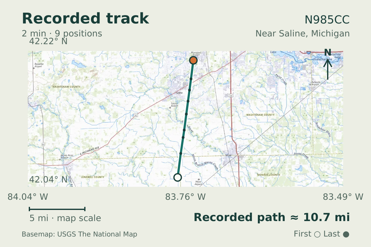
- Replay time · UTC
- —
- Last saved report · UTC
- —
- Recorded path
- —
- Reported ground speed
- —
- Archived altitude
- —
The dot moves between saved positions. Readings are from the last saved report. Recorded path is approximate and excludes gaps. Distances use nautical miles (nmi); speed uses knots (nmi per hour).
About the Hawker 800
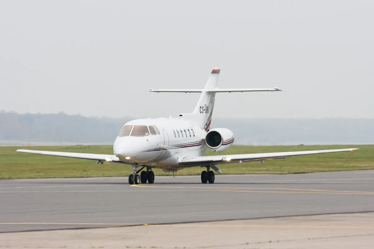
At 5,900 feet near Saline, Michigan, the flight carried an identity puzzle. Its transmitted address, ADBDEE, converts to N985CE, and the archived record carries that same text as its callsign label. The aircraft database's later lookup instead gives N985CC and describes it as a Hawker 800.
Those are separate fields: the address-derived registration and callsign label agree, while the database registration differs. The cause is unknown; a database error, a re-registration, or an avionics setting could account for the conflict. The observation was recorded on June 16, 2026.
Recorded data for N985CC
| Observed | to |
|---|---|
| Event type | Data quality |
| Recorded source | ADS-B, ICAO address |
| Post date | |
| Last revised |
| Aircraft type | HAWKER BEECHCRAFT Hawker 750/850 |
|---|---|
| Type designator | H25B |
| Tail number (registration) | N985CC |
| Callsign | N985CE |
| ICAO address | ADBDEE |
Measurements
Displayed measurements may be rounded.
- Ground speed
- 278.3 kn
- speed over the ground; wind adds to or subtracts from it
All measurements and the evidence record
| Ground speed | 278.3 kn |
|---|---|
| Archived altitude; reference not retained | 5,900 ft |
| Callsign | N985CE |
|---|
Evidence version: f3bdc95127bbb0da.
Record details
Public event ID: 330271ae-4185-49.
Record revision: 10.