Vintage aircraftErcoupeReception source: ADS-R relay, ICAO address
An 80-year-old Ercoupe takes to the air as N2472H
Listed as built in 1946, the aircraft was tracked near South Lyon, Michigan, with a recorded altitude of 2,300 feet.
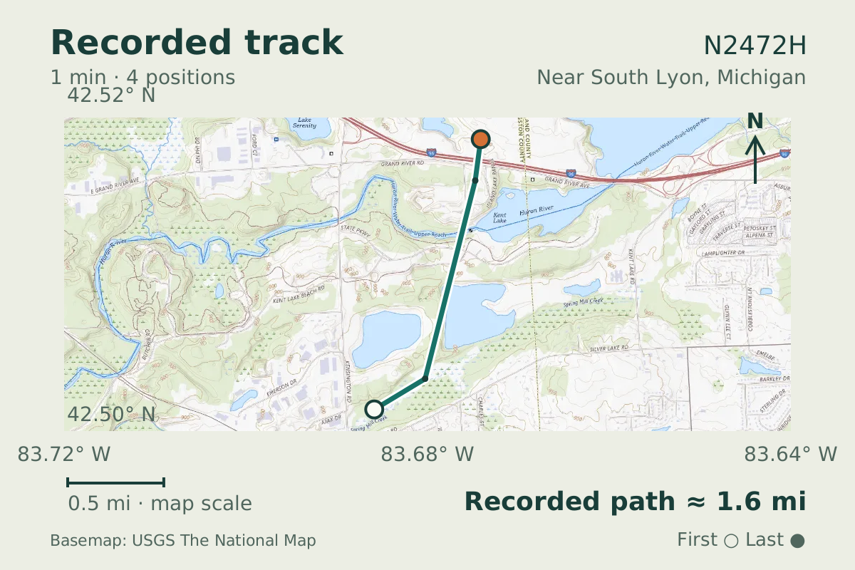
- Replay time · UTC
- —
- Last saved report · UTC
- —
- Recorded path
- —
- Reported ground speed
- —
- Archived altitude
- —
The dot moves between saved positions. Readings are from the last saved report. Recorded path is approximate and excludes gaps. Distances use nautical miles (nmi); speed uses knots (nmi per hour).
A flight near South Lyon, Michigan, on June 20, 2026, put N2472H, an 80-year-old Ercoupe, in the tracking records. The aircraft database lists its build year as 1946. Its recorded altitude during the flight was 2,300 feet.
The Ercoupe is a light monoplane with a low wing and tricycle landing gear, including a steerable nose wheel. Its twin fins and rudders are positioned outside the propeller slipstream.
About the Ercoupe
- The Ercoupe is a light monoplane with a low wing.
- The Ercoupe has tricycle landing gear with a steerable nose wheel.
- The Ercoupe has twin fins and rudders positioned outside the propeller slipstream.

Recorded data for N2472H
| Observed | to |
|---|---|
| Event type | Unusual aircraft |
| Recorded source | ADS-R relay, ICAO address |
| Post date | |
| Last revised |
| Aircraft type | AIR PRODUCTS F-1 Aircoupe |
|---|---|
| Type designator | ERCO |
| Tail number (registration) | N2472H |
| ICAO address | A24CA6 |
Measurements
Displayed measurements may be rounded.
- Archived altitude; reference not retained
- 2,300 ft
- an archived altitude whose reference, pressure or GPS, was not kept
All measurements and the evidence record
| Archived altitude; reference not retained | 2,300 ft |
|---|
Evidence version: bb45ce248737b4b8.
Record details
Public event ID: ab3f3247-2e7b-48.
Record revision: 8.