Watchlisted aircraftDouglas DC-3
Built in 1944, Douglas DC-3 N161PR flew near Pittsford
An altitude of about 6,700 feet was recorded during the flight near Pittsford, Michigan.

- Replay time · UTC
- —
- Last saved report · UTC
- —
- Recorded path
- —
- Reported ground speed
- —
- Archived altitude
- —
The dot moves between saved positions. Readings are from the last saved report. Recorded path is approximate and excludes gaps. Distances use nautical miles (nmi); speed uses knots (nmi per hour).
An aircraft dating to 1944 was reported near Pittsford, Michigan, on September 25, 2026. The aircraft database lists it as Douglas DC-3 N161PR and gives that build year. The recorded flight included an altitude reading of about 6,700 feet.
That build year gives the observation its interest: this was an aircraft with decades of history behind it. Plane Alert DB places N161PR in its "Historic aircraft" category. The list entry does not show who was aboard the flight.
About the Douglas DC-3
- The Douglas DC-3 first flew on December 17, 1935.
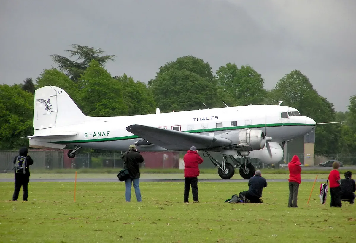
Recorded data for N161PR
| Observed | to |
|---|---|
| Event type | Unusual aircraft |
| Recorded source | ADS-B, ICAO address |
| Post date | |
| Last revised |
| Aircraft type | DOUGLAS DC-3 Dakota |
|---|---|
| Type designator | DC3 |
| Tail number (registration) | N161PR |
| ICAO address | A0F6BA |
Measurements
Displayed measurements may be rounded.
| Archived altitude; reference not retained | 6,650 ft |
|---|
| Source | Plane Alert DB |
|---|---|
| Category | Historic aircraft |
| Pinned source version | 6f7a19044a8dc9ed |
| Attribution | Aircraft association/category: Plane Alert DB / SDR-Enthusiasts and contributors. |
| Licences | Open Database License 1.0; Database Contents License 1.0 |
| Scope | Source association only; not verified current ownership, operator, historical association or presence of any person aboard. |
Record details
Public event ID: e6205a39-5151-47.
Record revision: 3.
Evidence version: 47ca4245df7215d7.