ADS-B glitchesCirrus SR22Reception source: ADS-B, ICAO address
Cirrus SR22 N283CP: an altitude reading at odds with the listing
A pressure altitude of 45,000 feet was reported on October 30, 2026, using address A2D960.
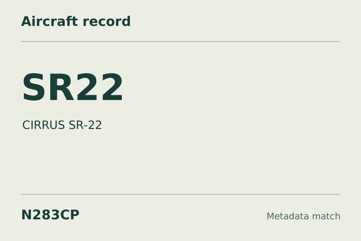
N283CP transmitted a pressure altitude of 45,000 feet and a ground speed of 441 knots. Its geometric altitude was reported as 45,800 feet. The pressure-altitude vertical rate in that same report was zero.
For the transmitted address, a Cirrus SR22 is the type recorded in the aircraft database, and adsbdb gives the same identification. The reading and the listed type do not agree. It could be a transponder set to the wrong address. A reading a type cannot produce usually means the address belongs to a different aircraft than the database lists.
Why this was our weekly pick
A reported pressure altitude of 45000 ft lies well above the listed type's published operating altitude, while the accompanying 441 kn ground speed requires a different comparison from published cruise airspeed.
What the altitude mismatch means
About this kind of event
An altitude mismatch with a listed type is a comparison between a reported altitude and the operating limits published for the type named in a database. Here, the reported pressure altitude is 45000 ft. Cirrus publishes a maximum operating altitude for the SR22 far below that reading, so the altitude falls outside the manufacturer's stated operating envelope for the listed model. The database type remains an unconfirmed identification. This comparison establishes the discrepancy between the supplied reading and the published specification; it does not establish an aircraft's identity or actual performance. [1]
How the readings are reported
About this kind of event
The FAA describes ADS-B Out as broadcasting position, altitude, ground speed, and other information to ground stations and other aircraft. Its technical guidance defines barometric pressure altitude using a standard sea-level pressure reference. The supplied 45000 ft is therefore a pressure-referenced altitude reading, not a direct statement of height above the terrain. Ground speed appears as a separate reported quantity, here 441 kn. Keeping the labels attached to the readings preserves the distinction between the altitude measurement and the speed measurement. [2] [3]
Why the comparison stands out
About this kind of event
The altitude is the clearest departure from the listed model's published limits. Cirrus also publishes maximum cruise performance as true airspeed, whereas the supplied 441 kn is labeled ground speed; those labels describe different quantities and should remain distinct in the comparison. Cirrus lists the SR22 and the turbocharged SR22T separately, with different altitude and cruise specifications. The higher-altitude specification of the turbocharged variant should not be assigned to the database-listed SR22. [1]
What remains uncertain
- The aircraft type comes from a database match. These sources describe this kind of event and the type in general; they do not independently identify this airframe or establish its mission, occupants, or reason for flying.
- Research was gathered after the observation. Historical aircraft metadata may have changed; the recorded reports remain separate from the background above.
Research sources
- Cirrus aircraft model comparison brochure — Cirrus Aircraft. Background on this kind of event; not this airframe or flight. Accessed .
- Automatic Dependent Surveillance - Broadcast (ADS-B) — Federal Aviation Administration. Background on this kind of event; not this airframe or flight. Accessed .
- AC 20-165: Airworthiness Approval of Automatic Dependent Surveillance - Broadcast Out Systems — Federal Aviation Administration. Background on this kind of event; not this airframe or flight. Accessed .
Recorded data for N283CP
| Observed | to |
|---|---|
| Event type | Data quality |
| Recorded source | ADS-B, ICAO address |
| Post date | |
| Last revised |
| Aircraft type | CIRRUS SR-22 |
|---|---|
| Type designator | SR22 |
| Tail number (registration) | N283CP |
| Callsign | N283CP |
| ICAO address | A2D960 |
Measurements
Displayed measurements may be rounded.
- Ground speed
- 441 kn
- speed over the ground; wind adds to or subtracts from it
- Pressure altitude
- 45,000 ft
- pressure altitude, the figure pilots and controllers use
All measurements and the evidence record
| Ground speed | 441 kn |
|---|---|
| Pressure altitude | 45,000 ft |
| Geometric altitude | 45,825 ft |
| Pressure-altitude vertical rate | 0 ft/min |
| Navigation integrity category | 9 |
| Navigation accuracy category | 10 |
| Transponder code | 2501 |
Evidence version: 6a4e7c6a4edca164.
Record details
Public event ID: 5b13d21f-4399-43.
Record revision: 3.