Notable aircraftLockheed C-5M Super Galaxy
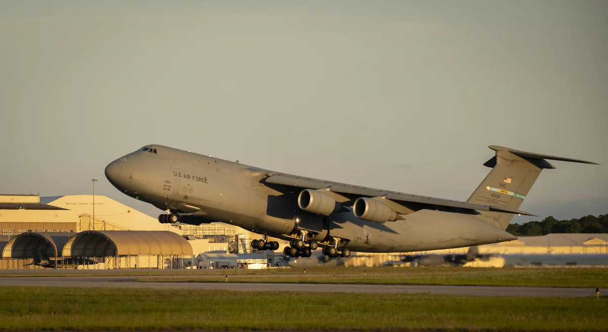
Lockheed C-5M Super Galaxy 86-0016, a military transport, at 36,000 ft
The C-5M in this record is 86-0016, logged at 36,000 ft on 5 September.

- Replay time · UTC
- —
- Last saved report · UTC
- —
- Recorded path
- —
- Reported ground speed
- —
- Archived altitude
- —
The dot moves between saved positions. Readings are from the last saved report. Recorded path is approximate and excludes gaps. Distances use nautical miles (nmi); speed uses knots (nmi per hour).
The C-5 was designed around cargo that would be awkward to fit into an ordinary transport. By its database record, 86-0016 is a Lockheed C-5M Super Galaxy. It reported an altitude of 36,000 ft at 19:50 UTC.
The journal has run six earlier stories about the C-5M. Its transponder address, AE056D, sits in the block ICAO allocates to the United States. Its database record carries the military flag. Reports in this record stop at 20:09 UTC, 19 minutes after the first. A Plane Alert DB association is not evidence of the aircraft's operator on this flight or of anyone aboard.
About the Lockheed C-5M Super Galaxy
- The C-5 was designed around cargo that would be awkward to fit into an ordinary transport.
Other Lockheed C-5M Super Galaxy stories
Recorded data for 86-0016
| Observed | to |
|---|---|
| Event type | Unusual aircraft |
| Recorded source | ADS-B, ICAO address |
| Post date | |
| Last revised |
| Aircraft type | Lockheed C-5M Super Galaxy |
|---|---|
| Type designator | C5M |
| Tail number (registration) | 86-0016 |
| ICAO address | AE056D |
Measurements
Displayed measurements may be rounded.
| Archived altitude; reference not retained | 36,000 ft |
|---|
| Source | Plane Alert DB |
|---|---|
| Category | Curated aircraft entry |
| Pinned source version | 6f7a19044a8dc9ed |
| Attribution | Aircraft association/category: Plane Alert DB / SDR-Enthusiasts and contributors. |
| Licences | Open Database License 1.0; Database Contents License 1.0 |
| Scope | Source association only; not verified current ownership, operator, historical association or presence of any person aboard. |
Record details
Public event ID: cbe3d0fa-f8c3-4f.
Record revision: 2.
Evidence version: ff26ab2ac1c4ff65.