ADS-B glitchesBombardier Challenger 600Reception source: ADS-B, ICAO address
N57AB in the address and callsign; A57AB in the database
The address-derived registration and archived callsign agree. The aircraft database has a different label.
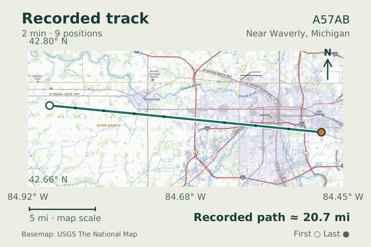
- Replay time · UTC
- —
- Last saved report · UTC
- —
- Recorded path
- —
- Reported ground speed
- —
- Archived altitude
- —
The dot moves between saved positions. Readings are from the last saved report. Recorded path is approximate and excludes gaps. Distances use nautical miles (nmi); speed uses knots (nmi per hour).
About the Bombardier Challenger 600
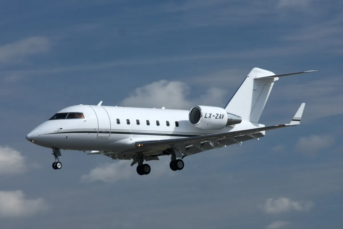
Address A74C12 maps to N57AB, matching the archived callsign label. The aircraft database instead records A57AB and lists a Bombardier Challenger 600. The track passes near Waverly, Michigan, on September 16, 2026, with an altitude reading of 37,000 feet.
The address and callsign therefore agree on an identifier that differs from the database entry. That agreement helps describe the conflict, but it does not authenticate the aircraft or establish how the database label arose.
Recorded data for A57AB
| Observed | to |
|---|---|
| Event type | Data quality |
| Recorded source | ADS-B, ICAO address |
| Post date | |
| Last revised |
| Aircraft type | BOMBARDIER CL-600 Challenger |
|---|---|
| Type designator | CL60 |
| Tail number (registration) | A57AB |
| Callsign | N57AB |
| ICAO address | A74C12 |
Measurements
Displayed measurements may be rounded.
- Ground speed
- 498.2 kn
- speed over the ground; wind adds to or subtracts from it
All measurements and the evidence record
| Ground speed | 498.2 kn |
|---|---|
| Archived altitude; reference not retained | 37,000 ft |
| Callsign | N57AB |
|---|---|
| Transponder code | 7221 |
Evidence version: b30677a46404b4f5.
Record details
Public event ID: 962c5a43-8119-45.
Record revision: 9.