Boeing 767-300 N3818P flagged for conflicting identity data
The recorded address was A460D1, which the site's identity check associates with N381UP. The flight was reported near Fort Wayne, Indiana.
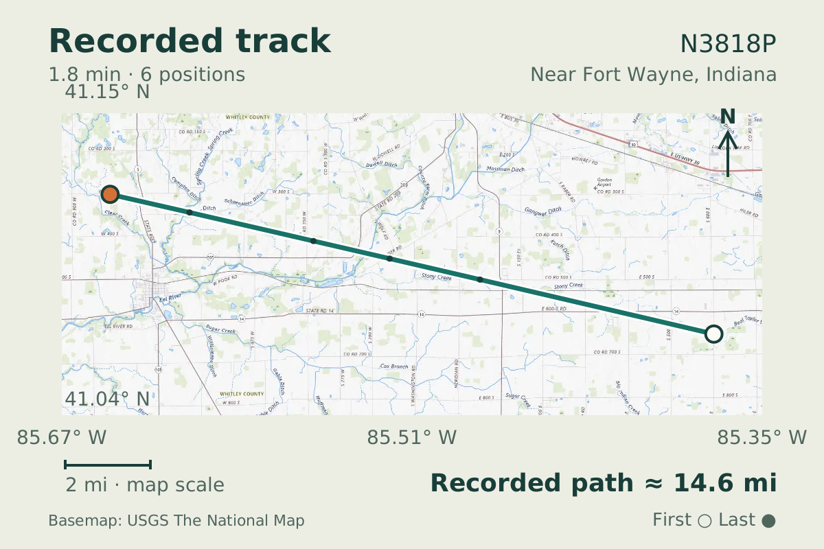
- Replay time · UTC
- —
- Last saved report · UTC
- —
- Recorded path
- —
- Reported ground speed
- —
- Archived altitude
- —
The dot moves between saved positions. Readings are from the last saved report. Recorded path is approximate and excludes gaps. Distances use nautical miles (nmi); speed uses knots (nmi per hour).
The flight recorded on October 1, 2026 carried address A460D1 and triggered an identity-conflict flag. It was reported near Fort Wayne, Indiana. The aircraft database identifies the aircraft as Boeing 767-300 N3818P, but the site's address check gives the registration N381UP.
The flag concerns the disagreement between those identifiers. It leaves uncertainty about whether the database registration and type describe the aircraft observed. The cause is unknown, so this flight cannot settle which identity is correct or explain why the records differ.
Recorded data for N3818P
| Observed | to |
|---|---|
| Event type | Data quality |
| Recorded source | ADS-B, ICAO address |
| Post date | |
| Last revised |
| Aircraft type | BOEING 767-300 |
|---|---|
| Type designator | B763 |
| Tail number (registration) | N3818P |
| ICAO address | A460D1 |
Measurements
Displayed measurements may be rounded.
| Ground speed | 410.7 kn |
|---|---|
| Archived altitude; reference not retained | 38,000 ft |
Record details
Public event ID: 1e8fdc45-24f5-43.
Record revision: 3.
Evidence version: 5e3b7bfefc723ec1.