Notable aircraftBell Boeing V-22 Osprey
V-22 Osprey 166718 and the type's distinctive wingtip nacelles
The aircraft was reported near Williamston, Michigan, on August 3, 2026, with a recorded ground speed of 295 knots.
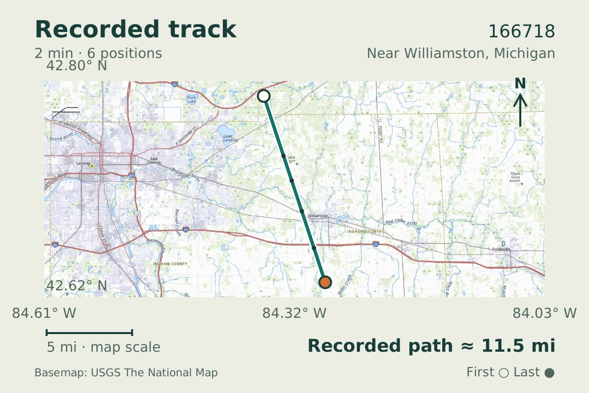
- Replay time · UTC
- —
- Last saved report · UTC
- —
- Recorded path
- —
- Reported ground speed
- —
- Archived altitude
- —
The dot moves between saved positions. Readings are from the last saved report. Recorded path is approximate and excludes gaps. Distances use nautical miles (nmi); speed uses knots (nmi per hour).
An Osprey was recorded in flight near Williamston, Michigan, on August 3, 2026. The aircraft database identifies it as Bell Boeing V-22 Osprey 166718. Its flight record included a ground speed of 295 knots and an altitude of about 8,900 feet.
The V-22's pair of wingtip nacelles gives the type its distinctive form: each carries an engine and proprotor. The Osprey grew from decades of tiltrotor experiments, and the family includes service-specific versions whose details should not be applied to every aircraft bearing the name.
About the Bell Boeing V-22 Osprey
- The V-22’s defining feature is its pair of wingtip nacelles, each carrying an engine and proprotor.
- The Osprey grew from decades of tiltrotor experiments.
- The V-22 family includes service-specific versions, so details from one variant should not be applied to every Osprey.
Recorded data for 166718
| Observed | to |
|---|---|
| Event type | Unusual aircraft |
| Recorded source | ADS-B, ICAO address |
| Post date | |
| Last revised |
| Type designator | V22 |
|---|---|
| Tail number (registration) | 166718 |
| ICAO address | AE2BC0 |
Measurements
Displayed measurements may be rounded.
| Ground speed | 295 kn |
|---|---|
| Archived altitude; reference not retained | 8,925 ft |
Record details
Public event ID: d7d2d9cb-a3b1-40.
Record revision: 3.
Evidence version: 8dc10cc5ebe713f3.