Notable aircraftAirbus A380-800Reception source: ADS-B, ICAO address
The Airbus A380's two decks extend its full length
The aircraft database lists the aircraft as an Airbus A380-800. It flew with a reported altitude of 37,000 feet.
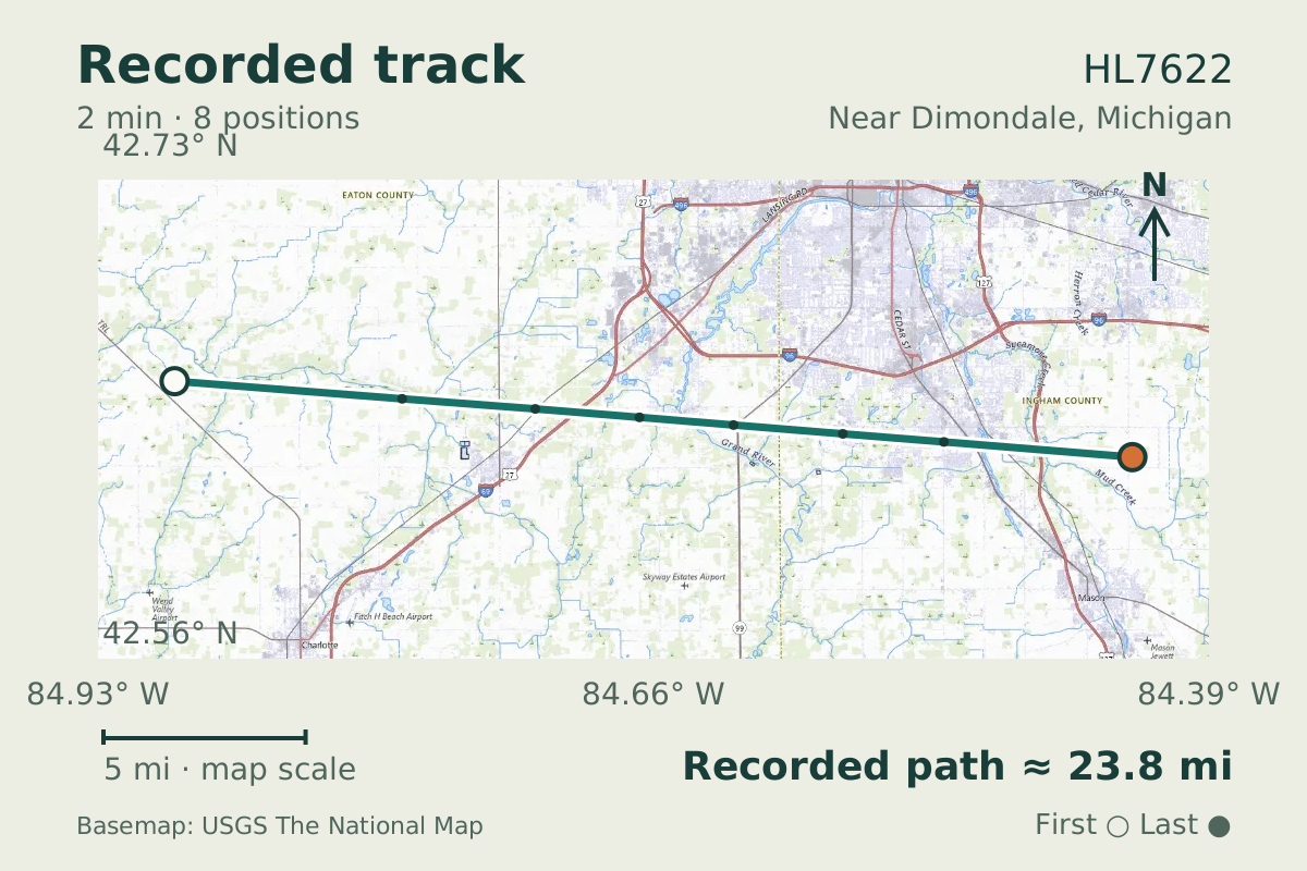
- Replay time · UTC
- —
- Last saved report · UTC
- —
- Recorded path
- —
- Reported ground speed
- —
- Archived altitude
- —
The dot moves between saved positions. Readings are from the last saved report. Recorded path is approximate and excludes gaps. Distances use nautical miles (nmi); speed uses knots (nmi per hour).

Two full-length decks define the Airbus A380's layout. An example of the widebody jet airliner, HL7622, flew near Dimondale, Michigan, on June 18, 2026, with a reported altitude of 37,000 feet.
Development of the A380 began in the early 1990s. The double-deck description applies to the type's full-length layout, rather than a partial upper deck. This aircraft carried an HL registration, the prefix that denotes South Korea.
About the Airbus A380-800
- The Airbus A380 first flew on 27 April 2005.
- The Airbus A380 is a widebody jet airliner with two full length decks.
- Development of the Airbus A380 began in the early 1990s.
Recorded data for HL7622
| Observed | to |
|---|---|
| Event type | Unusual aircraft |
| Recorded source | ADS-B, ICAO address |
| Post date | |
| Last revised |
| Aircraft type | AIRBUS A-380-800 |
|---|---|
| Type designator | A388 |
| Tail number (registration) | HL7622 |
| ICAO address | 71BE22 |
Measurements
Displayed measurements may be rounded.
- Ground speed
- 580.8 kn
- speed over the ground; wind adds to or subtracts from it
All measurements and the evidence record
| Ground speed | 580.8 kn |
|---|---|
| Archived altitude; reference not retained | 37,000 ft |
Evidence version: 4700d8615bb08a54.
Record details
Public event ID: 2f81405c-b790-46.
Record revision: 9.